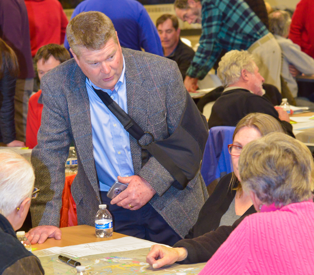
More than two hundred people attended a meeting at Cheyenne Mountain High School Thursday, Feb. 1 to voice their opinions on the Colorado Springs Parks, Recreation and Cultural Services Department master plan for trails in North Cheyenne Cañon Park.
Priscilla Marbaker of Tapis Associates, the consulting firm hired by the city to put the plan together gave a detailed presentation of proposed changes to the trails system in the park.

The most significant proposal is increasing the total mileage of available hiking and biking trails from 19.1 to 35.4 miles. This was well-received by the crowd.
The Tapis analysis revealed many missing trail links that cause the creation of informal trails subject to erosion. User conflicts between hikers, mountain bikers, motorcyclists and other users were also identified.
Among several plans to improve user compatibility is a new area specifically for downhill mountain biking to improve trail safety, reduce conflicts and minimize environmental damage.
Climbing areas, including the popular ice-climbing venue in Hully Gully were identified after consultation with the climbing community.
Matt Mayberry, Director of the Colorado Springs Pioneer Museum also spoke about the protection of cultural resources and the potential for interpretive displays throughout the park and improvements to the Starsmore Visitor and Nature Center.
Breakout sessions were included where citizens were asked to make written comments. After the presentation, each table was given a map of the proposed system and asked to mark up and comment on the many changes Marbaker proposes.
Marbaker said that all of the comments and information provided by attendees will be considered as the master plan is developed. The updated master plan will be presented at a public open house on March 6.
One bone of contention that emerged at a Jan. 25 public meeting on traffic circulation and road improvements that was not discussed at this meeting was dissent over the possibility of decommissioning and re-vegetating South Canyon road from the visitor center to its intersection with Mesa Ave. and the entrance to The Broadmoor’s Seven Falls road.
This proposal generated some passionate responses from members of the community, who see such changes as favoring The Broadmoor hotel because it would turn over part of Mesa Ave. to shuttle busses heading to Seven Falls from The Broadmoor.
Some acrimony remains in the community over the city’s sale of the adjacent Strawberry Hill open space to The Broadmoor.
Marbaker said, “I am aware that there has been misinformation communicated about what were the recommendations to consider as part of the toolbox, which included South Canyon.”
“We were looking at the road system in South Canyon and how to incorporate South Canyon more into the park by eliminating some of the roads, eliminating some of the shenanigans that go on in the picnic pullouts that we don’t have police to cover. An idea to address a park management concern got turned around to a Broadmoor piece,” she continued.
Marbaker also says that people unfamiliar with the area often try to drive to Seven Falls, which is private property owned by The Broadmoor. Private vehicles are not permitted past the end of Mesa Avenue. Drivers only discover this when they get to the gate at the intersection of Mesa and South Canyon roads.
Because they are allowed to walk to Seven falls they will often park in the picnic turnouts along Mesa and South Canyon roads. This, Marbaker says, prevents park users from enjoying the picnicking opportunities along South Cheyenne Creek.
One of the three traffic options for that part of the park is to completely close South Canyon road and make it a walk-in picnic area. This, Marbaker believes will enhance park visitor’s experience by separating pedestrians and cars and preventing shuttle busses from using the visitor center’s parking lot as a turnaround.


